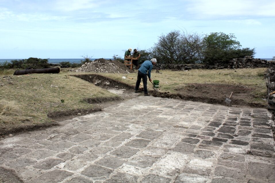
This post relates some thoughts on the combination of GIS and game engines for historical archaeology. This approach examines virtual world environments as a type of 3D GIS allowing users to move through space while simultaneously interacting with various data. This immersive, qualitative GIS (IQ-GIS) supports the display and interpretation of both qualitative and quantitative data. While a complete prototype… Read more →
